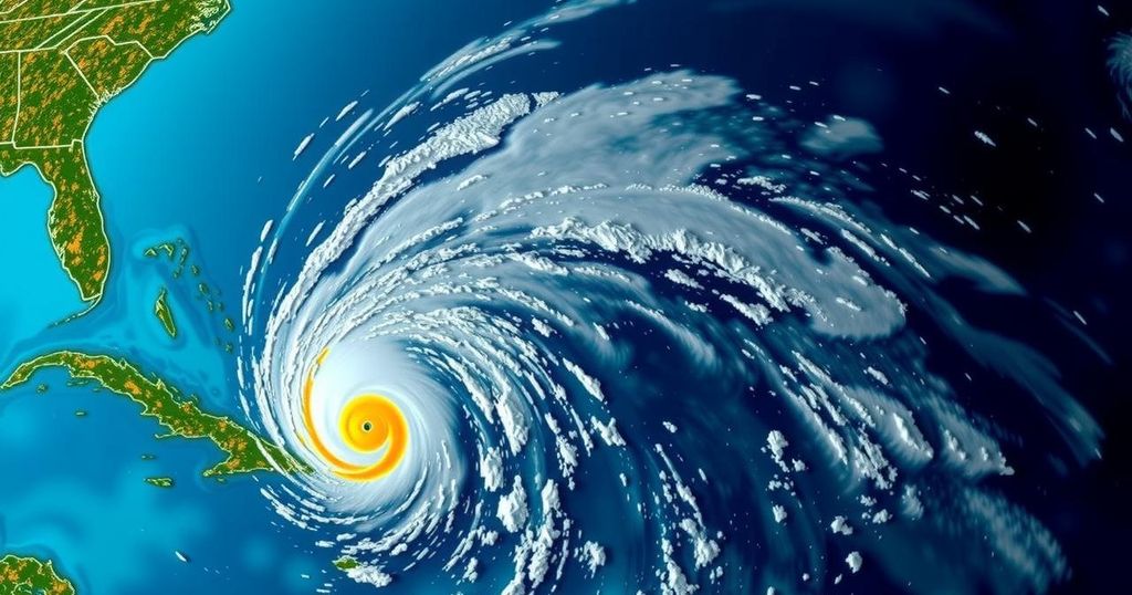
Unexpected Transformation: The Rapid Intensification of Hurricane Oscar

Hurricane Oscar unexpectedly intensified from a 10% chance tropical wave to a Category 1 hurricane in a single day, highlighting the failures of computer forecasting models while showcasing the effectiveness of human observations and reconnaissance efforts that allowed for timely warnings ahead of landfall in the Bahamas and Cuba.
On Friday evening, a disorganized tropical wave located east of Puerto Rico displayed just a 10% likelihood of intensifying over the weekend. However, by midday on Saturday, it had developed into Hurricane Oscar, a Category 1 storm approaching the Bahamas. This sudden change raised critical questions about the forecasting process. According to experts, the small storm escaped detection by major storm models, but diligent human observers and Hurricane Hunter aircraft managed to gather real-time data that prompted timely alerts prior to Oscar’s landfall. Philippe Papin, a forecaster at the National Hurricane Center, initially noticed significant indicators while analyzing passive microwave imagery, revealing a developing low-level circulation. “It became pretty clear that a small circulation was developing,” he stated. “We had to shift gear in a short period of time.” By 11 a.m. on Saturday, the hurricane center released its first advisory for what was now Tropical Storm Oscar, which included a forecast track towards the Bahamas and Cuba. Concurrently, a team of Hurricane Hunters conducted reconnaissance flights from St. Croix to assess the storm. Their results indicated that the system was much different than it had been perceived days earlier. The plane did not register tropical-storm-force winds until it was merely 10 nautical miles from the storm’s center. By 2 p.m., Oscar had officially become a hurricane, categorized among the smaller hurricanes recorded in the Caribbean, providing the affected regions with limited time to prepare. Papin noted that the standard lead time for storm watches is typically around 48 hours, whereas this instance offered only 12 to 24 hours, which is less than optimal. Hurricane Oscar made landfall on Great Inagua Island in the Bahamas on Sunday morning before hitting Cuba’s eastern coast in the evening. Initially, computer models had indicated a moderate probability for the system, which originated off the coast of Africa more than a week earlier, to develop into a tropical depression or stronger system. However, these models later mispredicted its trajectory as a surge of dry air hindered its development. By Friday, major hurricane models suggested that no storm would form in the Caribbean or Atlantic for the next week, yet by Saturday, the situation had shifted dramatically. Phil Klotzbach, a senior research scientist at Colorado State University, explained that the models failed to accurately resolve Oscar’s circulation ahead of the reconnaissance flights. “I think the models just had a hard time resolving the circulation before they got the recon in there. It’s not like the models didn’t have signals, they had them and then it killed them off.” Following the reconnaissance, the data was integrated into computer models, which then began to accurately predict Oscar’s characteristics. Papin remarked on the role that the storm’s size played in the forecasting challenges: “Size is definitely an important part of the equation of why the models weren’t handling this storm so well.” With a radius of 34 nautical miles at the time of its hurricane designation, Oscar’s size is relatively small compared to prior storms, reinforcing the difficulty in forecasting such systems. Klotzbach concluded, “Even though it’s low, they always had a 10% chance. You just never know. It’s a tough forecast. These small storms are tricky.”
The article discusses the developments surrounding Hurricane Oscar, which unexpectedly strengthened from a tropical wave with minimal chances of intensification to a Category 1 hurricane almost overnight. It highlights the limitations of computer models in forecasting such rapid changes, while emphasizing the crucial role human observations and reconnaissance play in weather forecasting. The swift transformation of Oscar illustrates the unpredictability of tropical systems and the challenges forecasters face, particularly when dealing with smaller storms.
In summary, Hurricane Oscar’s rapid intensification from a tropical wave to a Category 1 hurricane serves as a notable example of the challenges in storm forecasting. While technological models initially underestimated the storm’s potential, prompt human intervention and reconnaissance flights enabled the timely issuance of warnings. This event underscores the inherent difficulties in predicting the behavior of small storms and the necessity for continuous vigilance in meteorological observations.
Original Source: www.tampabay.com


