Storm Tracker: Potential Tropical Depression Formation in the Caribbean Sea

The likelihood of a tropical depression forming in the Caribbean has increased, but it is not expected to impact the United States. The National Hurricane Center is tracking two systems in the Atlantic, with Invest 95L showing a 50 percent chance of development. Localized heavy rainfall is likely in Central America and southern Mexico.
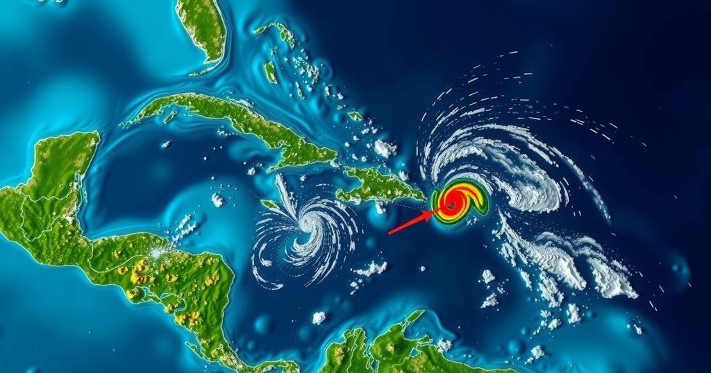
The National Hurricane Center (NHC) reported that the likelihood of a tropical depression forming in the Caribbean Sea has increased but does not currently present a threat to the United States. This report involves two systems being monitored in the Atlantic Ocean, one of which, dubbed Invest 95L, is located in the northwestern Caribbean Sea. This particular system is associated with a broad low-pressure area generating extensive showers and thunderstorms. The NHC noted that the system is becoming progressively organized, especially to the north of eastern Honduras. They indicate that environmental conditions appear favorable for further development over the next two days, with a potential for a short-lived tropical depression or storm to emerge. However, the system is expected to move inland over Belize and the Yucatan Peninsula of Mexico come Saturday, with a 50 percent chance of development within the next 48 hours. Despite the possibility of formation, the NHC emphasized that significant localized rainfall is likely to occur across parts of Central America and southern Mexico throughout the weekend. Additionally, the NHC is observing another system labeled Invest 94L, characterized as a poorly-defined trough of low pressure that is creating disorganized showers and thunderstorms extending from the northern Leeward Islands northbound over adjacent Atlantic waters. The likelihood of significant development for Invest 94L appears low at this time due to adverse upper-level winds, with only a 10 percent chance of formation over the upcoming 48 hours. This system is expected to progress toward and just north of the Virgin Islands and Puerto Rico before approaching Hispaniola and the southeastern Bahamas on Saturday. The next two named storms in the Atlantic hurricane season will be Nadine and Oscar.
Atlantic hurricane monitoring involves tracking disturbances that may develop into tropical depressions or storms. The current focus by the National Hurricane Center is on two systems in the Atlantic, particularly one in the Caribbean Sea labeled Invest 95L, which presents potential for development. Each system is evaluated based on atmospheric conditions, proximity to land, and historical behavior patterns to predict their paths and intensity. Understanding these systems helps communities prepare for potential weather impacts, including heavy rainfall and flooding, which can occur even without a fully developed storm. The NHC provides updates on storm systems, including their development chances, paths, and impacts on land areas, as hurricane season progresses.
In summary, the National Hurricane Center is monitoring two weather systems in the Atlantic. Invest 95L, situated in the Caribbean Sea, shows improved organization and a higher probability of developing into a tropical depression or storm, although it is not expected to affect the United States. Conversely, Invest 94L has a significantly lower chance of development. Localized heavy rainfall is anticipated in parts of Central America and southern Mexico, underscoring the need for preparedness in affected regions as the systems evolve.
Original Source: www.usatoday.com


