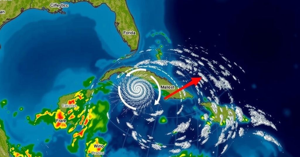
Observations from the National Hurricane Center: Invests 94L and 95L and Implications for Florida

The National Hurricane Center is tracking invests 94L and 95L, with no current threats to Florida. Invest 94L is expected to impact Puerto Rico and Hispaniola, and Invest 95L may affect Central America and Mexico. Colorado State University forecasts no tropical development for the next ten days, although future risks in the western Caribbean persist. The hurricane season remains active until November 30, necessitating ongoing vigilance.
The National Hurricane Center is currently monitoring two invests, namely 94L and 95L. Fortunately, neither of these invests poses a direct threat to Florida at this time. Invest 94L, which had previously shown potential for development into Tropical Storm Nadine, is anticipated to bring substantial rainfall to Puerto Rico and Hispaniola, while Invest 95L is expected to impact Central America and Mexico with similar conditions this coming Saturday. As recovery continues from hurricanes Helene and Milton, there is further positive news: Colorado State University meteorologists forecast no tropical developments over the next ten days. They indicate that the upcoming named storms for the season will be Nadine and Oscar. Additionally, Colorado State’s forecast reveals a 50% likelihood of tropical development occurring in the western Caribbean between October 15 and October 28, indicating the possibility of future storms forming during this period. However, confidence remains low regarding the potential development of the current invests, although forecasters note some weak signals for development later in October. Dr. Ryan Truchelut from WeatherTiger has stated that, “I am confident that the next week and a half will be free of the conepanics associated with tropical threats to the continental United States. However, at longer range, hurricane season is not over.” He emphasizes that favorable conditions for storm development are expected towards the end of October and continuing into mid-November. Regarding Invest 94L, it is characterized by a poorly-defined area of low pressure producing disorganized weather across the northern Leeward Islands, with current forecasts showing a low chance of development. Likewise, Invest 95L is producing widespread showers and displays potential for a short-lived storm before making landfall in Belize and the Yucatan Peninsula. It is noteworthy that the Atlantic hurricane season remains active until November 30, despite the historical trend indicating that significant hurricanes have rarely impacted Florida post-October 28. However, meteorologists maintain vigilance over the remaining weeks of the hurricane season in case of anomalies or unexpected developments. Future updates will continue to be disseminated, ensuring that residents are well-informed on tropical weather developments.
Tropical weather, particularly hurricanes, is a significant concern during the Atlantic hurricane season which spans from June 1 to November 30. The season frequently experiences varying levels of storm activity, with the peak typically occurring around September 10. The National Hurricane Center plays a crucial role in monitoring potential tropical disturbances and issuing timely forecasts and advisories to protect the public. The analysis of invests involves assessing clusters of thunderstorms and low-pressure systems that could evolve into more severe weather patterns. The current focuses on invests 94L and 95L reflect the high level of vigilance necessary during this period, especially following recent hurricane impacts on regions like Florida, Puerto Rico, and Hispaniola.
In summary, the National Hurricane Center’s tracking of invests 94L and 95L reveals no immediate threats to Florida, with expected impacts limited to Puerto Rico, Hispaniola, and parts of Central America and Mexico. Meteorological forecasts offer reassurance against further tropical developments within the next ten days, while some potential for late-season storm formation in the Caribbean remains. This situation emphasizes the need for continued awareness and readiness as the hurricane season approaches its conclusion, albeit some weather threats could still present in the coming weeks.
Original Source: www.news-journalonline.com


