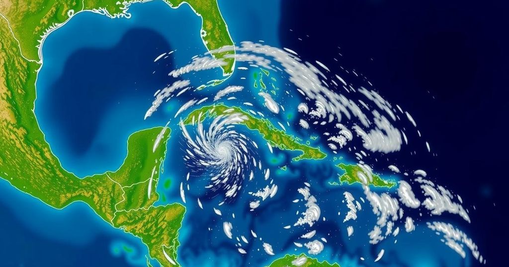
Current Tropical Weather Update: National Hurricane Center Reports on Invests 94L and 95L

The National Hurricane Center is tracking two invests—Invest 94L and Invest 95L—with neither currently posing a threat to Florida. Invest 94L is projected to impact Puerto Rico and Hispaniola with heavy rainfall, while Invest 95L may affect Central America. The development of these systems is deemed low, providing some relief to areas recently impacted by hurricanes. Meteorologists are monitoring potential developments in the Caribbean within the next few weeks, but significant threats to Florida remain unlikely.
The National Hurricane Center (NHC) is currently monitoring two disturbances in the tropics, labelled as Invest 94L and Invest 95L. Fortunately for residents of Florida, neither system poses an immediate threat to the state. Invest 94L, which had previously indicated potential development into Tropical Storm Nadine, is expected to deliver heavy rains to Puerto Rico and the Dominican Republic. Meanwhile, Invest 95L is showing signs that it could evolve into a temporary tropical depression or possibly Tropical Storm Nadine before impacting Central America and southern Mexico this Saturday. Encouragingly, recent forecasts suggest that the likelihood of tropical development in the region will remain low over the next ten days, a sign of relief for those still recovering from the hurricanes Helene and Milton. The next storm names are anticipated to be Nadine and Oscar. Meteorologists from Colorado State University have indicated a 50% chance for tropical development in the western Caribbean between October 15 and October 28, although the current opportunities for Invests 94L and 95L to develop further are diminished. Additionally, Dr. Ryan Truchelut, chief meteorologist at WeatherTiger, has expressed confidence that the imminent week and a half will be largely devoid of significant tropical threats impacting the continental United States, although he notes that the hurricane season is not yet over. He mentioned that the Caribbean Sea’s warm conditions combined with expected favorable upper-level winds could potentially lead to the formation of one or two additional storms before mid-November. Historically, significant hurricanes making landfall in Florida past late October are exceedingly rare. The NHC provides updates on the positions and potential developments of these invests making it clear that presently, there are low probabilities of further formation. The public should remain informed about the developments but can rest assured that immediate threats to Florida are minimal at this moment.
The Atlantic hurricane season, which extends from June 1 through November 30, is characterized by a peak in activity typically occurring around September 10. During this period, meteorologists closely monitor tropical disturbances, often referred to as ‘invests,’ which are designated numerical labels indicating areas under observation for possible development into tropical cyclones. The NHC employs advanced forecasting models to predict the potential paths and impacts of these invests, thereby keeping the public informed about any emerging threats. The current situation involves two invests affecting regions such as Puerto Rico and Central America, with particular focus on the conditions over the next week to ten days that may influence their development.
In summary, while the National Hurricane Center is actively monitoring Invests 94L and 95L, both systems are currently not threats to Florida. The anticipated impact of these invests is primarily confined to parts of the Caribbean and Central America, with heavy rainfall expected. Furthermore, forecasts suggest low chances for tropical development in the coming days, offering reassurance to areas recently affected by prior hurricanes. It is crucial for residents to stay updated through reliable weather sources to prepare adequately and remain vigilant for any changes in these weather systems.
Original Source: www.news-journalonline.com


