Rising Chances of New Storm Approaching the Caribbean: National Hurricane Center Update

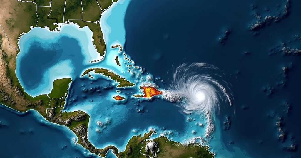
Forecasters from the National Hurricane Center have indicated a rising likelihood of a tropical disturbance in the Atlantic Ocean evolving into a tropical depression, potentially affecting the Caribbean by the week’s end. The disturbance is expected to approach the Virgin Islands and Puerto Rico, while another disturbance near Central America has a lower chance of formation yet may bring heavy rainfall to the region.
The National Hurricane Center has reported an increasing likelihood of a new storm threatening the Caribbean by the end of the week. As of Tuesday morning, a tropical disturbance situated in the Atlantic Ocean has been assessed to have a 60% chance of evolving into a tropical depression within the next seven days, and a 30% likelihood of strengthening within the next two days. This marks a slight increase compared to previous assessments. Currently, this disturbance is characterized by a disorganized formation of thunderstorms with a distinct swirl at its center. In order for this system to transition into a tropical depression—and subsequently potentially a tropical storm or hurricane—it must consolidate additional rainstorms. However, it is currently located in an area of dry air, making this consolidation challenging. Fortunately, meteorologists anticipate that the system will continue moving westward into regions with more moisture, thereby increasing its potential for development. The forecast suggests that the disturbance could approach the Virgin Islands and Puerto Rico by Thursday or Friday. Global weather models, however, exhibit divergence in their predictions. Some forecasts indicate a westward trajectory through Cuba, while others suggest a more northeast movement towards Florida or the Bahamas. At this stage, forecasters believe that these models lack precision, and once the system is classified as a tropical depression, tracking and predictions will become more reliable. As noted by Jim Cantore of the Weather Channel, “Many questions remain on both intensity and track.” The next storm on the naming list is expected to be Nadine. In addition, the National Hurricane Center is observing another disturbance off the Central American coast, which has a considerably lower chance of formation—approximately 30% over the next week, with no immediate prospects within the next two days. Forecasters suggest that this system could strengthen into a tropical depression if it remains over water for several days; however, many computer models indicate a likelihood that it will revert towards Central America’s coastline. Regardless of its development, the hurricane center has warned of the possibility of heavy rainfall in parts of Central America later this week.
The Atlantic storm season typically sees a variety of disturbances that can develop into hurricanes. The National Hurricane Center continuously monitors these systems to provide timely updates and forecasts. The assessment of a tropical disturbance’s potential to strengthen into a tropical depression relies on various meteorological factors including moisture levels, wind patterns, and atmospheric conditions. Understanding these dynamics is crucial for predicting the future behavior of such weather systems, especially as they approach populated regions like the Caribbean and Central America.
The National Hurricane Center has highlighted the increasing probability of a disturbance in the Atlantic strengthening into a tropical depression, which could bring significant weather changes to the Caribbean by the end of the week. As the system progresses westward, it may encounter conditions favorable for development. Concurrently, another disturbance off Central America is being monitored, albeit with lower formation chances. Both systems warrant close observation and the potential for local heavy rainfall remains a concern.
Original Source: www.miamiherald.com


