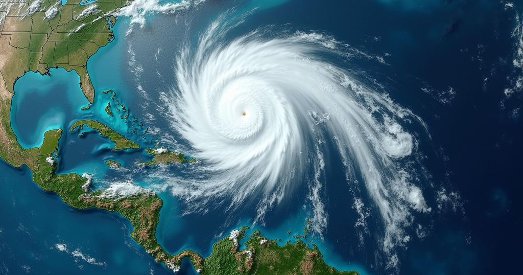
Potential Threat From Developing Tropical Storm in Northern Caribbean

A strengthening tropical rainstorm is expected to approach Puerto Rico and the northern Caribbean later this week, with potential for heavy rain and winds. The system might become the next named storm of the 2024 Atlantic hurricane season, tentatively named Nadine. Impacts may include flash flooding, mudslides, and coastal erosion, particularly in areas like Hispaniola and Cuba.
A developing tropical rainstorm is posing a potential threat to Puerto Rico and other islands in the Caribbean and Bahamas later this week into the weekend. According to Alex DaSilva, Lead Hurricane Expert at AccuWeather, meteorologists have been tracking this system since mid-October, anticipating that it will bring heavy rains and strong winds to numerous northern Caribbean islands. The tropical disturbance is expected to follow a path just north of the Leeward Islands initially. However, it is likely to shift southward over time, with potential trajectories ranging from west-northwest to southwest. DaSilva emphasized that the longer the system remains to the north of the islands, the greater the likelihood that it may strengthen further. A possibility exists for it to escalate into a hurricane, along with being the next designated storm of the 2024 Atlantic hurricane season, with the next name on the list being Nadine. The storm’s long-term trajectory may lead it toward the southern Bahamas, but it is more probable that it will track southwest over the larger landmasses of Hispaniola and Cuba. DaSilva noted that the storm might encounter increasing wind shear or face the mountainous terrain of the Greater Antilles, which could hinder its intensification or potentially lead to its disintegration. While the atmospheric conditions would need to improve significantly for the storm to approach Florida, the east-northeast winds are anticipated to create localized issues, including rough surf, beach erosion, and coastal flooding along the Atlantic coastline of the peninsula. In terms of effects on the northern Caribbean, it is crucial for residents to prepare for not only the storm’s center but also its expansive rainbands and gusty winds. These conditions are likely to produce torrential rain and dangerous wind gusts, with hazards extending beyond the immediate track of the storm. Areas in Puerto Rico, Hispaniola, and Cuba could experience life-threatening flash flooding and mudslides due to potential storm-induced conditions. Should the system follow a more southerly route and manage to cross Hispaniola or Cuba, it has the potential to regain strength over the warm waters of the northern Caribbean next week. Concurrently, a competing area of showers in the western Caribbean may also develop into a tropical depression or storm, possibly earning the name Oscar before heading into Central America thereafter.
The context surrounding this weather phenomenon involves the seasonal development of tropical storms in the Atlantic, particularly in the Caribbean region, where meteorological conditions often foster the growth of such systems. Tropical storms and hurricanes pose significant risks to island nations and coastal areas due to their propensity to bring severe weather, including heavy rainfall, high winds, and potential flooding. Understanding the trajectory and intensity forecasts is critical for preparedness and response, as these storms can dramatically impact both life and infrastructure.
In summary, a tropical rainstorm is currently developing and poses a serious threat to the northern Caribbean, with potential impacts including heavy rain, strong winds, and flooding. As meteorologists track its progress, areas such as Puerto Rico, Hispaniola, and Cuba should remain vigilant in their preparations. The evolving nature of this storm, alongside competing weather systems, underscores the unpredictability and urgency surrounding tropical weather forecasts in the region.
Original Source: www.accuweather.com


