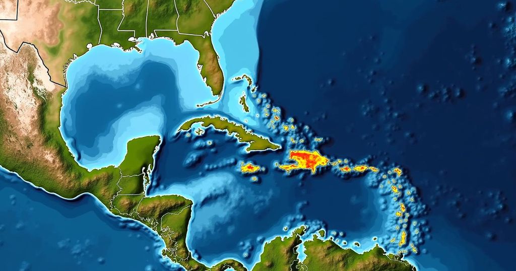
National Hurricane Center Monitors Potential Tropical Storm Nadine Approaching Florida

The National Hurricane Center is observing a potential tropical storm, Nadine, brewing in the Atlantic, with a 50% chance of becoming a tropical depression. Current projections suggest it may track toward southeastern Florida after moving through Puerto Rico. Meteorologists note that environmental conditions could become favorable for development later this week. Additionally, a gyre in the Western Caribbean is being monitored for potential storm formation.
Following a recent disturbance caused by Hurricane Milton in Florida, the National Hurricane Center (NHC) is currently observing the formation of a potential tropical storm in the Atlantic. Dubbed Potential Tropical Storm Nadine, this system has not yet fully developed; however, it is being closely monitored due to a 50 percent likelihood of strengthening into a tropical depression within the next week. The NHC has reported that the system consists of an organized area of low pressure producing irregular showers and thunderstorms, situated several hundred miles west of the Cabo Verde Islands. While there is no official path available for Nadine at this stage, initial projections suggest that, if it were to develop, it may follow a trajectory toward southeastern Florida, moving through Puerto Rico along the way. The current environmental conditions are less than favorable for development, as the system is embedded in a less humid atmosphere. Nevertheless, a westward movement toward warmer waters could create better conditions for gradual development by the middle or end of the week. Meteorologists anticipate the formation of a tropical depression as the pressure system moves west-northwest toward the Leeward Islands. Furthermore, Chief Meteorologist Jeff Berardelli of WFLA-TV has indicated that, while there are no immediate tropical threats, several weather models present indications of multiple tropical waves and moisture formation in the upcoming weeks that may lead to developing systems. Notably, it has been stated that 85 percent of tropical storms originate as tropical waves. In addition to the system being tracked by the NHC, meteorologists at AccuWeather are also observing a large oceanic current called a gyre in the Western Caribbean, which might strengthen into a more substantial storm by the end of the week. Although the NHC has yet to track this gyre formally, concerns have arisen regarding elevated ocean temperatures that could facilitate storm development, similar to the conditions experienced prior to Hurricanes Helene and Milton. As a caveat, Berardelli noted that a cold front is projected to sweep across Florida this week, potentially acting as a barrier to any tropical systems attempting to move northward—at least temporarily.
The 2024 Atlantic hurricane season remains active, even in the absence of named storms. The NHC is monitoring a potential new storm, Nadine, which could impact Florida shortly. This attention follows recent turbulence caused by Hurricane Milton, highlighting ongoing concerns over the unpredictable nature of tropical storms and hurricanes during this period. Meteorologists utilize models to predict storm trajectories and development probability, taking into account environmental conditions, such as ocean warmth and moisture levels, to ascertain the possible paths and intensities of these systems.
In summary, the National Hurricane Center is diligently monitoring the potential development of Tropical Storm Nadine, which could head towards Florida after passing Puerto Rico. Although current conditions are not conducive for immediate development, the tropical landscape remains fluid with various systems under observation. Furthermore, potential interactions with a cold front may influence future storm paths. Continued vigilance is warranted as meteorologists gauge these evolving conditions in the Atlantic.
Original Source: www.newsweek.com


