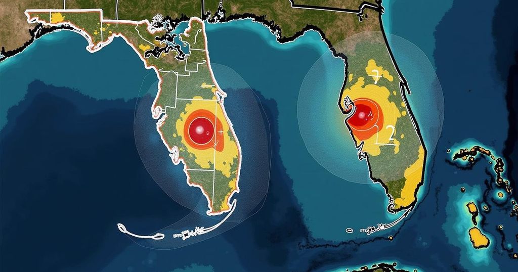
National Hurricane Center Monitors Potential Impacts of Two Tropical Systems on Florida

The National Hurricane Center is tracking two potential tropical systems that may impact Florida, specifically focusing on Invest 94L and another system brewing in the western Caribbean. Residents should stay informed due to the increasing chance of development and resultant weather changes, including the possibility of rough seas and coastal flooding.
The National Hurricane Center is actively monitoring two systems in the tropics that may affect Florida as they develop. Cooler weather has settled in Florida, but residents must remain vigilant regarding potential tropical disturbances. According to AccuWeather meteorologists, there are two main areas likely to spur tropical development in the coming days. The first system is forming in the western Caribbean, while the second is moving through the Atlantic and nearing the Leeward Islands. The second system, stemming from a tropical wave off the coast of Africa, has recently seen an increase in chances for development, currently set at 60% over the next week. Forecasts indicate it could escalate to a tropical depression or even a storm by late this week, particularly as it approaches the Leeward Islands. Conversely, environmental conditions may inhibit further development in the western Caribbean, particularly due to the mountainous terrain of the northern Caribbean islands, which could disrupt any tropical systems attempting to make landfall. Despite the potential for impact, if conditions remain steady, the chances of a major storm directly affecting Florida are diminished. However, stiff winds and rough seas are anticipated, leading to hazardous surf conditions and possible coastal flooding. A well-defined low-pressure area known as Invest 94L is currently producing occasional showers and thunderstorms in the central tropical Atlantic. Although immediate development seems unlikely, conditions could become favorable later this week as it moves westward towards the Caribbean. AccuWeather refers to Invest 94L as a “tropical rainstorm,” developing its path towards the Leeward Islands. The forecast anticipates a potential tropical depression forming as early as late this week, with a formation chance of 60% over the next seven days. Meanwhile, models indicate potential future pathways for these systems, allowing for continued monitoring of their trajectory as well as their possible influence on weather conditions in Florida. In summary, while Florida may be spared from a direct hit, the implications of these systems warrant attention as developments occur in the coming days.
As the Atlantic hurricane season continues, typically running from June 1 through November 30, the National Hurricane Center plays a crucial role in monitoring disturbances that may impact coastal regions, particularly Florida. The report provides an analysis of the current weather systems developing in the tropics, outlining potential threats and the parameters affecting their development. With cooler weather in Florida, the public is alerted to remain prepared for any sudden changes brought about by tropical disturbances. Historical patterns indicate that the peak of the hurricane season occurs around September 10, and thus careful monitoring of these evolving weather systems is essential for effective preparedness and response.
In conclusion, Florida residents should remain attentive to developments from the two tropical systems currently monitored by the National Hurricane Center. While there is potential for formation and impact, prevailing conditions may protect the state from a direct hit. However, heightened surf conditions and coastal flooding are plausible consequences of these systems. Continuing updates will be necessary as the situation evolves. Residents are encouraged to keep informed about weather alerts and advisories throughout this active hurricane season.
Original Source: www.news-journalonline.com


