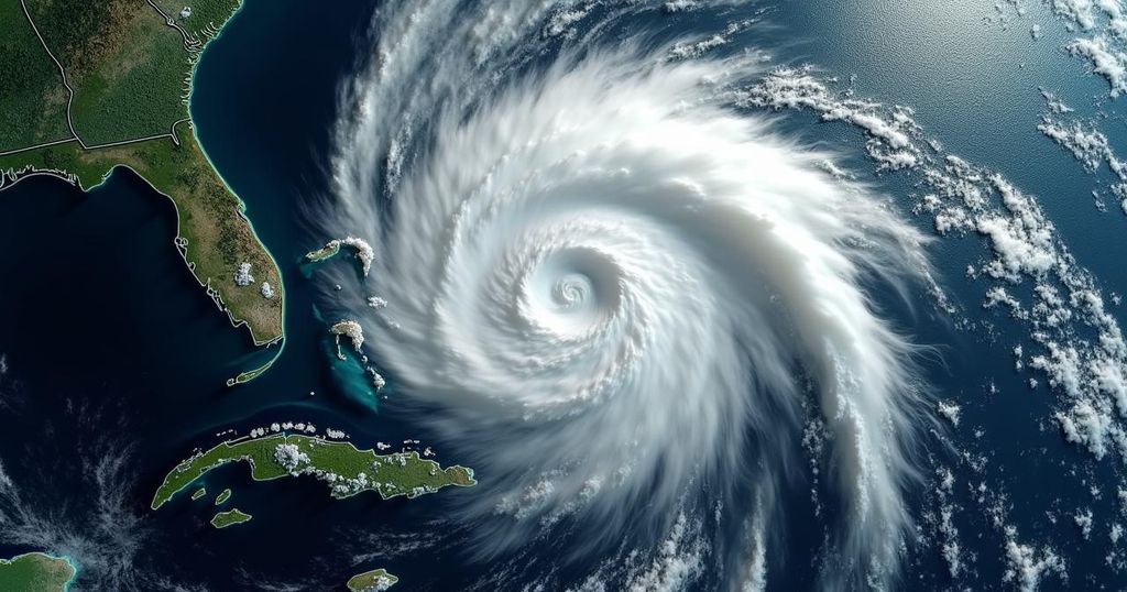
Monitoring Tropical Disturbances: Invest 94L and New Caribbean System

The 2024 Atlantic hurricane season remains active as two weather disturbances are being monitored: Invest 94L in the central Atlantic and another system in the western Caribbean. While Invest 94L faces dry air challenges, it may develop as it approaches the Caribbean. A separate disturbance could lead to significant rainfall in Central America this week.
As the 2024 Atlantic hurricane season approaches its conclusion, meteorological activity remains heightened. Two primary areas of concern have been identified; the first, designated as Invest 94L, is situated over the central Atlantic Ocean. The second area is characterized by disturbed weather located in the western Caribbean Sea, which forecasters are closely monitoring. According to the National Hurricane Center (NHC), Invest 94L is currently a defined low-pressure system that has been generating precipitation and thunderstorms. However, the NHC cautions that the development of this system is hindered by the presence of dry air in its environment. Although immediate development is deemed unlikely over the next 24 to 48 hours, the system is expected to continue its westward trajectory toward conditions that may become more conducive for further development, potentially evolving into a tropical depression as it approaches the Leeward Islands and enters the Caribbean Sea. Residents and travelers to popular Caribbean destinations such as Puerto Rico and the U.S. Virgin Islands are advised to remain vigilant and closely monitor forecasts for potential impacts. For those in Florida recovering from recent hurricanes, namely Helene and Milton, there is currently no indication that Invest 94L will affect the state. Nevertheless, ongoing monitoring of meteorological updates is recommended as the situation evolves. The NHC has assessed the likelihood of development from the system to be low over the next two days, with an increased chance of development, categorized as medium, over the next week. In parallel, the NHC is also observing a broad low-pressure area that may emerge over the western Caribbean Sea by mid to late week, approaching coastal regions of Central America. Should this system remain afloat in warm waters and slowly track west-northwest, it may gradually develop further. Regardless of the potential for development, significant rainfall is anticipated in parts of Central America later in the week, as stated by the NHC.
The Atlantic hurricane season traditionally spans from June through November, during which time tropical storms and hurricanes frequently develop. In recent years, this period has seen increased meteorological activity, prompting heightened vigilance among forecasters and local populations. The National Hurricane Center plays a pivotal role in monitoring and predicting these systems, providing crucial updates to those potentially affected. The current assessment focuses on Invest 94L, a significant area of concern over the Atlantic, and a new disturbance in the Caribbean, both of which could lead to adverse weather conditions.
In summary, the ongoing observations of Invest 94L over the central Atlantic and a new weather disturbance in the Caribbean underscore the need for diligent monitoring of tropical systems as the hurricane season progresses. Travelers to affected regions should stay informed about potential developments that may impact their plans, while those in the recovery phase from previous hurricanes should remain alert to any changes in forecasts.
Original Source: www.foxweather.com


