Monitoring Tropical Development near the Caribbean: Insights from Bryan Norcross

Bryan Norcross reports on a tropical disturbance named Invest 94L moving through the tropical Atlantic. Although development is currently unlikely, conditions may become more conducive for development as the system approaches the northeastern Caribbean islands. Residents should stay informed as the situation may evolve, particularly after Friday when potential impacts may occur.
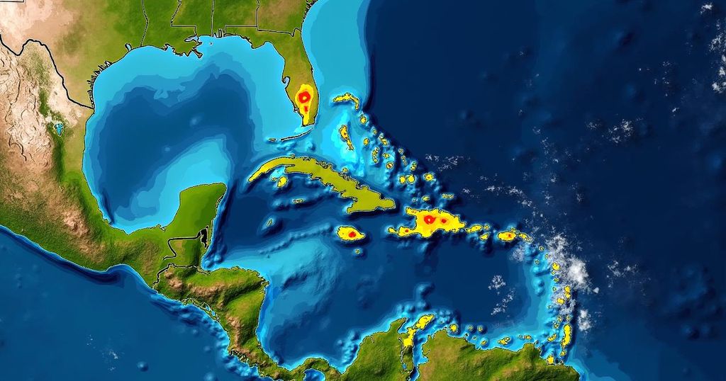
In a recent observation, Bryan Norcross updated the public on the potential for tropical development occurring near the Caribbean by the end of the week. The tropical disturbance, designated as Invest 94L, is currently traversing through the middle of the tropical Atlantic, where the atmosphere has proven to be inhospitable due to extremely dry air, significantly hindering any thunderstorm activity within its circulation. While development is not expected over the next few days, forecasts indicate that as the system approaches the northeastern Caribbean islands around Friday, conditions may become more favorable for further development. It is notably uncommon for such disturbances originating from Africa to reach the Caribbean region at this time of year, as typical conditions include cooling ocean waters, harsh upper-level winds, and the effects of seasonal jet stream shifts that redirect systems towards the north. However, current factors, including unusually warm ocean waters and a high-pressure system positioned north of the disturbance, are influencing its atypical trajectory. Satellite imagery shows some taller thunderstorms attempting to emerge near the center of this otherwise disrupted circulation. The National Hurricane Center has assessed a moderate chance for the system to develop into at least a tropical depression as it arrives off the coast of Puerto Rico or the nearby islands. There exists a strong consensus among computer models that the disturbance will be situated in that region by Friday, with its organization potentially ranging from merely a surge in moisture to a robust system complete with a well-defined circulation. Following Friday, predictions indicate a decrease in steering currents, resulting in the system drifting towards areas such as Puerto Rico, the Dominican Republic, Haiti, or the southeastern Bahamas, with the possibility of tropical storm or hurricane impacts on some islands. However, it is essential to note that an uncertain steering flow increases track unpredictability. Consequently, vigilance is essential this week for residents of Puerto Rico, the Virgin Islands, and the surrounding islands. Fortunately, the likelihood of any threat to Florida appears minimal, as a cold front across South Florida, together with a related dip in the jet stream over the Bahamas, is expected to prevent the disturbance from affecting the state. Nonetheless, monitoring the situation as the disturbance evolves will enhance forecasting accuracy as it becomes more defined. In conclusion, predictions regarding the strength and trajectory of evolving tropical systems remain uncertain and can change rapidly. Partners in safety are encouraged to remain aware and informed throughout the week as further developments occur.
The article addresses the ongoing observation of a tropical disturbance known as Invest 94L, which is progressing through the tropical Atlantic with potential implications for the Caribbean region. With the changeable nature of tropical weather systems, factors influencing development and tracking are elaborated, alongside a warning for residents to remain informed in light of the variable conditions and potential impacts.
In summary, while immediate development from Invest 94L is unlikely, conditions may improve by the end of the week, warranting close attention from coastal residents in the Caribbean. Unusual factors contribute to the disturbance’s trajectory, but the likelihood of Florida being affected remains minimal. The dynamic nature of such systems leads to uncertainty, underscoring the importance of staying informed as the situation evolves.
Original Source: www.foxweather.com


