Bryan Norcross Reports on the Impact of Fall Weather on Tropical Systems

A significant fall cold front will keep tropical systems away from the U.S. for the time being. A Tropical Disturbance is moving westward towards the Caribbean, with moderate chances of development. An upper-level disturbance from Alaska is expected to reinforce the dip in the jet stream, further preventing any tropical systems from impacting the northern Gulf or Atlantic through the coming week.
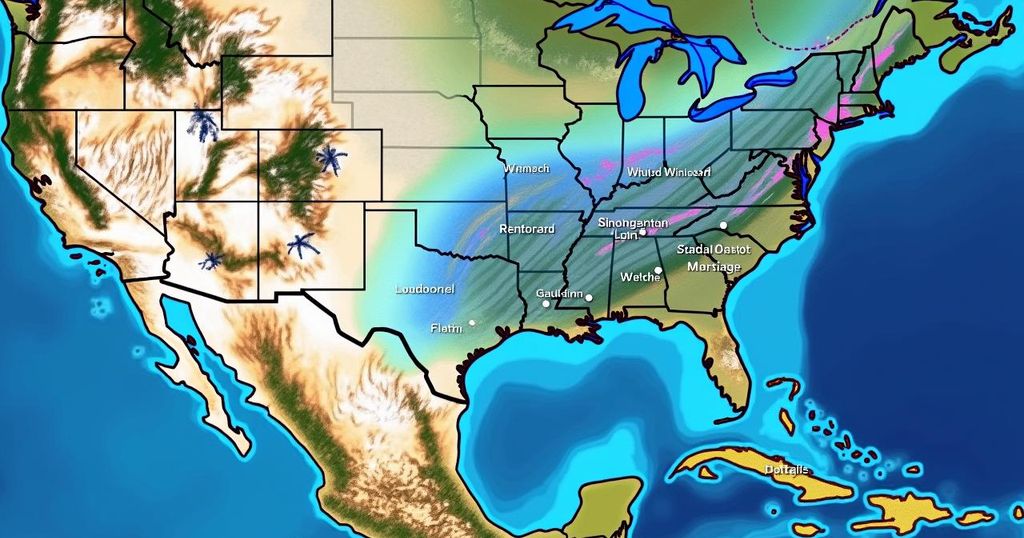
Bryan Norcross reports that a significant cold front is expected to keep tropical systems away from the mainland United States for the time being. A Tropical Disturbance is currently moving westward near the African coast, with the National Hurricane Center indicating a moderate probability of it transforming into a tropical depression within the next few days. An upper-level disturbance originating from Alaska is projected to reinforce a dip in the jet stream across the eastern United States, facilitating the advancement of this cold front through Florida next week. As a result of these atmospheric conditions, both the surface cold front and the elevated jet stream will obstruct any tropical weather systems from approaching the northern Gulf of Mexico or the Atlantic Ocean through at least the following week. In the Atlantic region, the developing Tropical Disturbance could reach the vicinity of the Caribbean islands by the end of the week, warranting close observation. Moreover, Tropical Storm Leslie is currently dissipating and will not pose a threat to land. Meanwhile, the American GFS computer forecast model suggests the potential formation of a significant storm in the southwestern Caribbean Sea by late in the week, although other forecasting models predict either a weak disturbance or minimal development. This specific time of year is known for the possibility of disturbances emerging in the southern Caribbean. The presence of robust east-to-west winds associated with the cold front may aid in the formation of such systems, an aspect deserving of attention as we approach the later stages of the hurricane season. In a positive development, those residents in Central and Western Florida who are still without power will benefit from the arrival of fall weather, accompanied by a flow of cooler and drier air.
This article addresses current meteorological events and their implications regarding tropical systems approaching the United States. The context involves movements of disturbances in the Atlantic, their potential development into tropical storms or depressions, and the influences of prevailing weather patterns, specifically a strong cold front moving through Florida, which impacts the likelihood of these tropical systems making landfall in the U.S. This period is critically important in the hurricane season, as disturbances can often arise, necessitating careful monitoring.
In conclusion, the forecast indicates a strong fall cold front that will likely deter tropical systems from reaching the U.S. in the immediate future. While there are notable tropical disturbances in the Atlantic that could develop, the prevailing weather conditions are expected to mitigate their impact. The cooler, drier fall air will also bring relief to those affected by power outages in Central and Western Florida. The situation continues to warrant vigilant observation as the hurricane season progresses.
Original Source: www.foxweather.com


