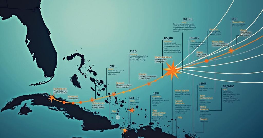
Hurricane Milton Update: Anticipated Landfall and Impacts on Florida

Hurricane Milton has intensified into a Category 3 storm and is projected to make landfall in Florida between 8:00 PM and 10:00 PM ET. With millions evacuated and severe weather conditions anticipated, particularly in the Tampa Bay area, officials warn of significant storm surge and rainfall. The storm follows closely on the heels of Hurricane Helene, which has left the region vulnerable to further damage.
As Hurricane Milton approaches Florida, its timing and strength remain fluid. The storm has intensified into a Category 3 hurricane as of Wednesday afternoon, prompting evacuation orders for millions and the closure of bridges in its path. Forecasters estimate that Milton could make landfall between 8:00 PM and 10:00 PM ET on Wednesday, a shift from earlier predictions of a later arrival around Sarasota, with warnings that timings may further adjust throughout the evening. Governor Ron DeSantis addressed the public, emphasizing preparedness for a severe impact. By late Wednesday afternoon, the hurricane was approximately 50 miles west-southwest of Sarasota, boasting sustained winds of 120 mph. Milton is anticipated to maintain its hurricane strength while traversing central Florida before reaching the Atlantic Ocean. Tropical storm-force winds began affecting the state as Milton drew nearer. Officials stressed the urgency for residents to evacuate, particularly in the Tampa Bay area, which houses over 3.3 million people and has not experienced a direct hit from a major hurricane in more than a century. The storm poses a severe threat to already vulnerable areas following the recent devastation from Hurricane Helene, which impacted the same communities just weeks earlier. The National Hurricane Center has warned that Milton is likely to continue being an extremely dangerous storm as it approaches Florida’s coast. Local emergency management officials have expressed grave concerns regarding potential storm surges in Tampa Bay, predicting increases of 6 to 9 feet, and possibly up to 13 feet in nearby regions. Mayor Ken Welch of St. Petersburg forewarned that recovery from this storm would extend over a considerable period. Milton is also projected to deliver significant rainfall, potentially reaching 18 inches. In preparation for the storm, numerous airports including those in Tampa and Orlando ceased operations, disruptively impacting tourism activities in the region. The Saffir-Simpson Hurricane Wind Scale categorizes hurricanes based on sustained wind speeds, which will have implications in assessing Milton’s potential damage.
Hurricanes are severe weather systems that arise from tropical waves combining with warm ocean waters and are characterized by sustained wind speeds of over 74 mph. The Atlantic hurricane season occurs from June 1 to November 30, and it is during this time that storms like Hurricane Milton develop and threaten coastal regions. The Saffir-Simpson scale is a commonly used method for categorizing the severity of hurricanes, highlighting their potential impact on life and property. Hurricane Milton, in particular, has raised concern due to the extensive evacuation orders in place and the forecasted high storm surge and rainfall, given the recent memory of Hurricane Helene that also affected the Florida region.
Hurricane Milton presents a significant threat to Florida’s Gulf Coast, with preparations underway for a possible major impact on Tampa Bay and surrounding areas. The storm’s unpredictability, evidenced by shifts in landfall timing and intensity, underscores the need for vigilance and prompt action from residents. With substantial evacuations already occurring and severe weather conditions anticipated, the region faces a critical moment as it braces for the storm’s arrival.
Original Source: www.nbcchicago.com


