Tropical Storm Milton Development and Forecast Impact on Florida

Tropical Storm Milton has formed in the Gulf of Mexico and is expected to strengthen over the coming days, posing significant threats to Florida including heavy rainfall, strong winds, and storm surge. Forecasts predict possible hurricane conditions may develop by midweek. Residents are urged to prepare for potential impacts as the storm approaches.
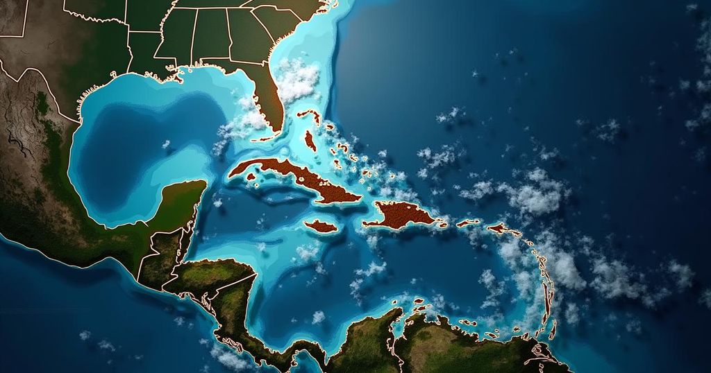
Tropical Storm Milton has emerged in the Gulf of Mexico, posing an increasing threat to Florida as it is expected to gain strength over the coming days. According to the National Hurricane Center’s initial advisory, there is a heightened risk of life-threatening storm surges and wind impacts for regions along the west coast of the Florida Peninsula, with significant effects anticipated beginning late Tuesday or Wednesday. The storm’s development is attributed to increasingly organized shower and thunderstorm activity situated several hundred miles south of Brownsville, Texas. Its projected path indicates an eastward or northeastward trajectory toward southwestern and central Florida, ultimately moving into the Atlantic Ocean. Meteorological models suggest that Tropical Storm Milton could intensify into a Category 2 or 3 hurricane by the end of the week. While it is predicted to remain south of the Florida Big Bend, there remains a possibility that areas previously affected by storm surge from Hurricane Helene may experience similar impacts from Milton, particularly regions extending from Pinellas County to Naples. In certain locations further south, storm surge levels may even exceed those observed during Helene. As Milton approaches, substantial rainfall is expected to initiate ahead of the storm due to a frontal boundary settling into the area. Florida can anticipate several rounds of precipitation beginning as early as Sunday. Forecasts indicate that the state may receive a minimum of 3 inches of rain, with localized areas potentially accumulating as much as a foot. Predicted peak rainfall is anticipated on Tuesday and Wednesday. The potential for wind damage is also significant, particularly if Milton reaches Category 2 or 3 status. Forecasts suggest that the storm may impact the west-central and southwest Florida coasts with damaging winds beginning Tuesday night or Wednesday. It is critical for any hurricane preparations or recovery efforts to be completed by the end of Tuesday, as engaging in such activities post-storm could pose safety risks. Wind shear in the northern Gulf of Mexico could hinder rapid intensification of the storm, despite favorable water temperatures. Additionally, Florida’s Atlantic Coast is likely to experience strong onshore winds, leading to a risk of rip currents throughout the weekend and into early next week. Similarly, along the Gulf Coast, there may be a rip current threat developing by early next week from Tampa southward. Historically, the western Caribbean and Gulf regions are known for tropical storm development in October, marking a critical time in the hurricane season. Citizens are encouraged to monitor weather updates from credible sources for the latest information.
The formation of Tropical Storm Milton in the Gulf of Mexico highlights the increasing occurrences of tropical systems in October, which is a historically active month for hurricane development. This storm arises shortly after Hurricane Helene impacted the region, further contributing to the risks faced by Florida. Monitoring and preparedness are crucial during this period, as storms can rapidly intensify and pose significant threats including heavy rainfall, strong winds, and storm surges.
In summary, Tropical Storm Milton poses a substantial threat to Florida, characterized by potential heavy rainfall, strong winds, and increasing storm surges along the Gulf Coast. The storm is expected to intensify significantly, and it is vital for residents to prepare and stay informed as conditions evolve. Assessments indicate that the impacts may be severe, necessitating caution and prompt action in preparation for the storm’s arrival.
Original Source: weather.com


